Chapter 4
4-1: Importing data, setting up a folder connection, converting a shapefile to a feature class, importing a data table into a file geodatabase, and using database utilities.
- This was all fairly straightforward, but I was glad to familiarize myself more with the folder structure, as I’ve never really used folders outside of this class before.
4-2: Deleting unneeded columns, adding a field and using the Calculate Field tool, joining a data table to a feature class attribute table, exporting a feature class, calculating a sum of fields, calculating percentages, and extracting fields.
- Again, this chapter was pretty easy, but I did struggle with deleting unneeded columns at first because I couldn’t find the “Delete” button. Overall, I thought that this subchapter included some pretty useful features that have very modern applications.
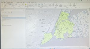
4-3: Viewing crime incidents, creating a date-range query, reusing a saved query, using OR connectors and parentheses, day-of-week range, and querying person attributes.
- This was probably my favorite subchapter so far, because I felt like a detective or something like that, trying to find crime statistics and locations of certain crimes. Using actual code was something new that I learned, although it was pretty basic coding.
4-4, 4-5, 4-6: Building a spatial join, creating a central point feature class, creating a point layer, and making a one-to-many join.
- These subchapters were all pretty straightforward, although I did run into some trouble with the Calculate Geometry Attributes tool, and was a little confused on the formatting, but I figured it out in a few minutes.


Chapter 5
5-1, 5-2, 5-3: Using coordinate systems
- This was also pretty useful information, as I was able to change the way that the map was oriented and focus on different locations and regions. I had no issues with these subchapters.
5-4: Shapefiles, adding x,y data, converting KML files to feature classes.
- This subchapter was a bit more complicated, as I am still familiarizing myself with files and other computer features, but it didn’t take me too long to figure it out.
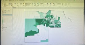
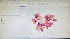
5-5: Downloading census data and files, processing data in microsoft excel, adding data to ArcGIS, and joining data and creating a chloropleth map.
- This subchapter was very hard for me, and I ran into a lot of problems using excel spreadsheets and downloading census data. The first time that I downloaded the Commuting Characteristics by Sex table, not all of the data was displayed in the spreadsheet, so I had to troubleshoot and redownloaded the data following the steps more carefully.
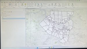
5-6: Adding a land use layer, extracting raster functions, downloading contours from a government organization, and downloading local data from a public agency hub.
- I liked this subchapter (and the previous one, excluding the issues I had) because it used data from Hennepin County in Minnesota, which is where I am from, so it was cool to apply GIS to something that relates to me. I didn’t run into any of the issues like in 5-5, but it took me longer as I was very careful in following the instructions to download data correctly.


Chapter 6 (Disclaimer: I completely forgot to take pictures of my work from this chapter, and will edit this post with pictures the next chance I get)
6-1: Dissolve fields and dissolve block groups.
- This was all pretty straightforward, but I did struggle a bit with the “Your turn” section as I had to retrace my steps from the first portion of the subchapter and was confused on exactly what to put in the input and output fields.
6-2: Creating a study area, creating study area block groups, and clipping streets.
- I had no issues with this subchapter, as I am familiar with all of the features.
6-3, 6-4: Merging features, and appending features.
- The merge and append tools were very easy to use, and I had no issues.
6-5: Intersecting features, summarizing street length.
- This was all pretty straightforward, and I found the tools to be very useful.
6-6: Calculating acreage, and summarizing residential land-use areas.
- This felt similar to some of the previous subchapters, almost repetitive at this point.
6-7: Using tabulate intersection.
- This was something new, but I found the tool pretty easy to use.