Chapter 4
In Chapter 4, I learned how to import, transform, and manage data using a file geodatabase.
I also practiced applying Python expressions and SQL queries to calculate and edit fields, as well as joining tables for efficient analysis.
I found it especially interesting that queries can be used to narrow down suspects in crime data.
Chapter 5
This chapter explains how to work with spatial data by learning about geographic coordinate systems, map projections, vector and census data, and how GIS uses location information to analyze and understand spatial phenomena. I was able to follow the steps up to Tutorial 5-4, but in Tutorial 5-5, even though I created and downloaded the Excel file, an error occurred and I couldn’t complete it.
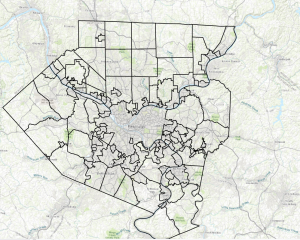
Chapter 6
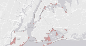
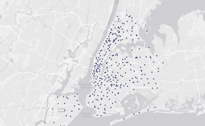
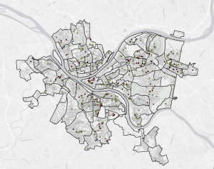
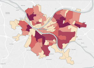
In this chapter, I dissolved block group polygons to create neighborhoods, fire battalions, and divisions, extracted neighborhoods using attributes to form a study area, and used that area to extract features from other layers. I also learned how to calculate street lengths for fire service, which was interesting. I was able to learn this chapter smoothly.