Chapter 1 – This chapter really focused on just the basics of ArcGIS and learning how to use it. It helped me learn how to navigate basic maps and work with different types of data and tables. This chapter was really helpful in learning how you can incorporate symbols and labels into your maps as well and how you can work with things like 2D and 3D maps. It was overall just a super basic introduction to the technology and mapping.
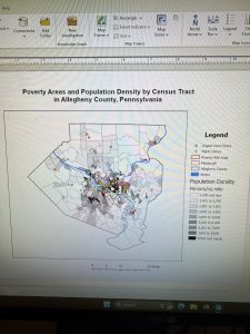
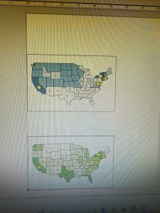
Chapter 2 – This chapter was more focused on map design and details. So this incorporated those symbols and labels a lot more that we learned about in chapter 1. It also went into more detail on the maps and their features. This chapter also dealt more with the 3D mapping and showed how we can move the map around to look at it in different ways. This chapter also helped in learning how to create dot density diagrams within a map and other custom scales for visibility ranges.
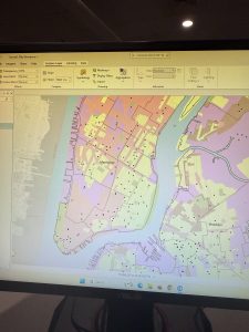
Chapter 3 – This chapter was probably the most in detail with learning how to build maps and charts. This chapter had you start out with the maps that we worked on previously and you had to label them and everything and then you actually share the maps online and build a dashboard that you will do mapping work with. It goes into detail with labeling your dashboard with everything and you include the map, pie chart, table, and bar chart. All of which have the information you need for that specific map and dashboard in general. And you can see all the work on your content on ArcGIS.