Chapter 4-
- Right click on fields in an attribute table to edit and remove them.
- On field view of an attribute table, you can add fields. Be sure to click save!
- Joining a data table to a feature class attribute – Joins and relates -> Join -> Input join field -> Join table field -> Validate -> OK
- Exporting a feature class – Contents pane -> Right click -> Data -> Export features -> Enter relevant info -> Run tool
- Calculating sum of fields -> Fields view of attribute table -> Right click field -> Calculate field (calculating % is same except expressions)
- Creating a query – Map tab -> Selection group -> Select by attributes -> Add clauses
- Aggregating data with spatial joins – Search spatial join tool -> Fill in fields -> Run
Chapter 5-
- State plane coordinate system – livingatlas.arcgis.com
- Could not get shapefile to work. File would not be extracted and uploaded.
- Adding X,Y data -Contents pane -> right-click ie. Libraries > Display XY Data -> Output Feature Class: ie. Libraries -> X field: XCOORD -> Y field: YCOORD -> Coordinate System: Current Map -> Run
- Use the KML to Layer tool to convert a KML file to a feature class
- Not going to lie, couldn’t get half of these chapter 5 tutorials to work so there isn’t much to note
Chapter 6-
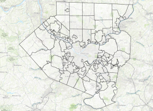
- Pairwise Dissolve tool – Dissolves block groups to create neighborhoods.
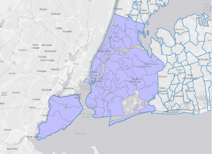
- Select attributes to create a study area, then remove original layer to leave only what you want to see.
- Use Select by Location to create study area block groups
- While holding shift, select different block groups. Then, use export features tool to separate them from the rest of the blocks and remove the original layer.
- Pairwise clip tool is for clipping streets
- Merging water features – Merge tool -> choose inputs/outputs -> run tool -> turn off original water layers
- use the Append tool to add features to an existing feature class, considering that both have the same attributes
- The Union tool overlays the geometry and attributes of two input polygon layers to generate a new output polygon layer aka helps determine area.