Chapter 4- I liked that Chapter 4 of hands-on exercises that reinforced spatial analysis concepts, making it easier to understand how GIS tools can be applied in real-world scenarios. The step-by-step instructions were clear and practical, which helped in grasping complex topics. However, I didn’t like that some explanations felt a bit technical without enough background for beginners, making certain sections harder to follow without prior experience. Additionally, I would have preferred more real-life examples to illustrate the applications of the techniques covered.
Chapter 5-I liked how Chapter 5 introduced advanced geoprocessing tools with clear, practical exercises that reinforced key concepts. However, some steps felt repetitive.
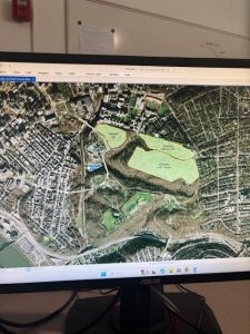
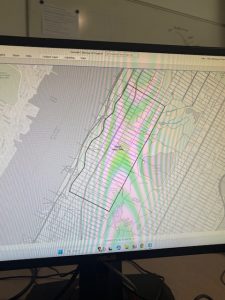
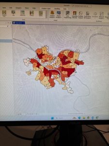
Chapter 6- focused on spatial analysis techniques and provided clear, structured exercises to reinforce learning. The step-by-step instructions made it easy to follow, and the hands-on approach helped in understanding complex tools. However, some sections felt a bit dense, and certain concepts could have been broken down further for better clarity.
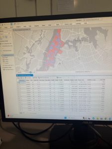
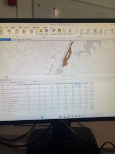
Chapter 7- provided a detailed exploration of data management techniques in GIS, which I found useful for organizing and maintaining large datasets efficiently. The exercises were well-structured and helped reinforce key skills, such as editing attributes, and optimizing databases. I appreciated the clear instructions, which made it easier to follow along with complex processes. However, some sections felt a bit tedious, and I would have liked more emphasis on troubleshooting common issues that arise in data management. Despite that, the chapter was valuable.
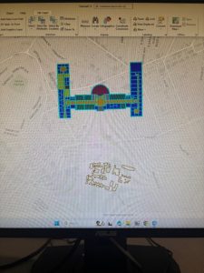
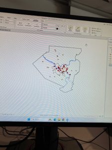
Chapter 8- focused on creating and editing spatial data, which I found engaging . The exercises provided clear guidance on modifying attributes, and ensuring data accuracy, which helped reinforce key concepts. I liked how the chapter built on previous lessons, making the workflow feel more natural and progressive. However, some tasks felt time-consuming, especially when working with intricate details, and certain tool functions could have been explained more thoroughly. Overall, the chapter was useful for developing precision and control in spatial data editing.