Chapter 9
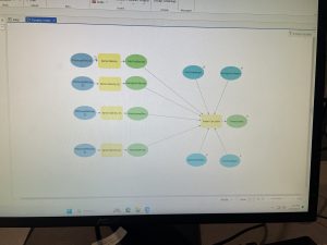
This chapter went over things like making buffers, service areas, facility location models and clustering. This chapter was pretty easy and self explanatory except I did have some issues towards the end of 9-3 so I just saved what I had and moved on to the next part which I had no problems with.
Chapter 10:
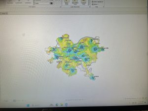
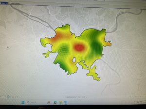
Chapter 10 covered topics like extract and symbolize raster maps, create hillside maps, smooth data, build raster based risk index and models. This chapter took me way longer than I thought it would because it was only 3 parts, but the parts were very long and had lots of steps in them with lots of reading. I enjoyed making the hillside map and creating the models weren’t too bas either just took a long time.
Chapter 11:
The last chapter, finally, involved exploring global scenes, navigating scenes, creating TIN surfaces, create z enabled features, creating 3D buildings and bridged from lidar, working with 3D figures, using procedural rules and creating an animation. So lots of stuff was covered in this chapter and it was kind of overwhelming at some points but I got through it eventually. Again there were many steps and reading to this part. I liked working with 3D models and the TIN surfaced but in section 11-4 I had so much trouble with actually creating the 3D city and couldn’t even ge tot he bridge part. Everything else was pretty straight forward though and I thought the last part where I had to make an animation was pretty cool.