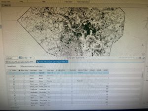
I came to some problems in Chapter 4-2. When I was getting the data for tracts from the field view, I only had 1 piece of data for the tracts information. I tried restarting the file since I hadn’t saved it and maybe deleted the data, but when I restarted it, it was still the same. I kept going back through my steps to figure out what was wrong but nothing would change the outcome of the data. I kept moving on and then when I tried to make a new field “popyouthunder20” it wouldn’t let me save, so then it wouldn’t add it to the Maricopa table. I had to skip the rest of 4-2 because I wasn’t able to do any of the steps because my file was all screwed up and probably corrupted. In 4-3 I would move the map and the colors would be dark red and green but as soon as I let go of the map it turns into a cyan blue.
In chapter 5 I really enjoyed going back to the basics and just exploring the different map projections to learn them and get familiar with them. It was cool going to the National map website to input information into arcGIS.
Chapter 6 was fairly simple, the tutorials were short and continued from the last tutorials helping you remember what you just did and using it for the next tutorial.
The start of chapter 7 was really fun, I liked editing the map and changing where the building polygons were to match the buildings. My construction toolbar didn’t show up automatically so it was hard to find it. It was fun creating the perimeters to label the buildings, it reminded me of like the OWU map and how they created it. In the last tutorial of chapter 7 my HBH1 layer was slanted and not aligned with Hamburg Hall, but I went back and retraced my steps and was able to fix it which felt very rewarding.
In chapter 8, when I tried to run the Collect Events tool it kept failing, so I had to skip it. Other than that, learning about the geocoding process was very smooth.