Chapter 4:
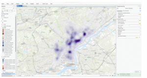
Chapter 4 started with a bit of confusion trying to find the catalog pane, but I eventually got the hang of it. The rest of the chapter focused on importing data, adding it to a geodatabase, and using it to make maps. I also learned how to modify attribute tables and filter data, which was really useful. The coding part was a bit tricky, but following the tutorial helped me through it.
Chapter 5:
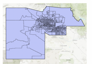
Chapter 5 started off easy but got a bit more complicated. I learned about coordinate systems in ArcGIS and how to use them. Then, I worked with vector data and shapefiles. The section on census data was challenging, especially when I had to join two data tables to create a map, but I eventually figured it out.
Chapter 6:
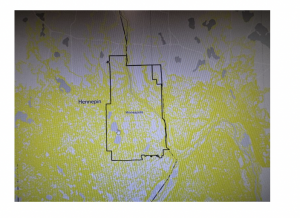
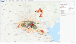
Chapter 6 was about geoprocessing, and I learned how to dissolve features to create neighborhoods. I wasn’t sure what dissolving was at first, but it made sense after following the tutorial. The chapter was pretty straightforward, and I created a map that could be useful for emergency response teams.
Chapter 7:
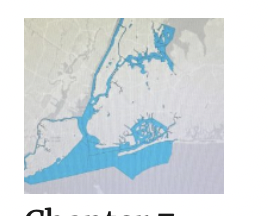
In Chapter 7, I worked with polygons, learning how to split and trace them. The tutorials helped me get comfortable with managing features and using cartography tools. The final part showed me how to transform and export data, which was pretty useful.
Chapter 8:
Chapter 8 was about working with zip codes and geocoding street addresses. It felt a bit strange at first, but I can see how it’s helpful for mapping. It wasn’t as straightforward as the other chapters, but it was still interesting.