Chapter 4
Chapter 4 was about working with databases. It was a bit funny to me, though, how once all of the additions were made to the Maricopa Tracts geodatabase then the directions said to delete it. It also made me mad, but I think that deleting the Maricopa Tracts geodatabase messed with something because there were no tracts to be found when I was trying to complete the second tutorial of the chapter. After that blunder, I moved on to the next section about attribute queries which are building on the SQLs from the previous chapters. This went smoothly since it was review from before. First you change the symbology to count, and that is followed by writing out expressions. Expression writing was followed by spatial joins which connect sums of a certain feature to polygons on the map; in this case, the counts were burglaries, and the polygons were neighborhood boundaries. The final section was about creating an attribute table for the neighborhood burglaries followed by creating a point layer. After the bumpy beginning, my proverbial DesktopGIS road smoothed out for the remainder of this chapter.
Chapter 5
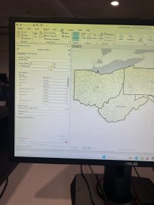
Moving on to Chapter 5, the preface of the first tutorial boasted how many coordinate systems and map projections are in ArcGIS Pro. The first task was to look at a distorted map projection of the world, then, to change the coordinate system to Hammer-Aitoff in order to remedy the distortions. Moving from the entire world to just the United States, the second section required playing around with the coordinate systems of the US to show the country through the Albers equal-area projection. The next section continued with changing the projections and coordinate systems according to different map scales while manipulating some symbologies along the way. Getting through the projections led to working with shapefiles which will be pertinent for using the Delaware Data for the final exams. Everything with this went according to plan. Then, next was working with the US Census data. This section was a bit tedious, but I had a chance for redemption for my failed choropleth map from Chapter 2.
Chapter 6
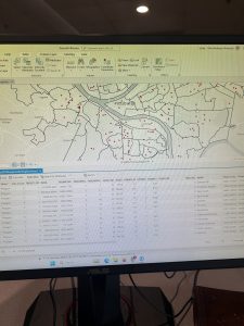
Halfway through Part 2, Chapter 6 was a bummer. The chapter started off well. Working with the Pairwise Dissolve tool was alright, and the rest of the first two sections were well. The third tutorial threw me off. I could not find the merge tool. I searched for it- exactly how I searched for everything else up until then, but I could not find the tool. I was either fogged by my influenza or fogged by the frigid temperatures of the Science Center freezing my peeper over, but I could not find the tool. Moving on from the disappointment of the previous section, I was back to the Pairwise tools, and everything was fine. I fabricated some inputs and outputs then commanded statistics of the Manhattan Fire Company, and I proceeded to the sixth section. Staying in New York, the next section was about the neighborhoods in Brooklyn. First was working with attribute tables again, using the Union tool, performing calculations using GIS, and then making some queries. After this section, I encountered an issue using the Tabulate Intersection tool. After inputting the data, it was not working properly. I tried again and encountered the same result, so I moved on.
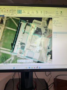
Chapter 7
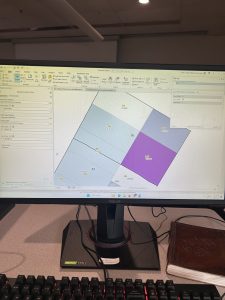
Moving and rotating the polygons in the first tutorial of Chapter 7 was fun. With that said, the process of saving the changed location of the polygons is inefficient. Each time I would click outside of the area to establish the new location of the polygon; it would move a bit. I feel like the apparent advanced nature of ArcGIS Pro would have a better way of keeping polygons in their proper positions- especially since they boast about the capabilities of their system. Besides my gripes, the movements were fun compared to the devastation of codes and the other minor things that have not worked properly for me. Exporting and moving the computer-aided design drawing was great; it was a nice reinforcement of what I had done before in the chapter, and it elaborated on other features in the program. The drawing looks like an overhead view of one of those spaceships from Star Wars, so that added an extra layer of whimsy to the GIS adventure.
Chapter 8
Chapter 8 was a heartbreaker. My geolocator code would not work. I tried to fix it, but it still would not work. This chapter was more difficult than the others for me because I kept messing up the inputs for the tools. I did manage to eventually make some of the tools work, but I ran into many roadblocks with the geocoding sections. I believe that I may have very bad luck, for I may not be meant to input simple data in ArcGIS Pro.