For each chapter I have thoughts and things I thought were interesting. Firsty for chapter 4 I will not lie when I say this was probably the most difficult chapter for me as I had a hard time navigating through the outside databases and figuring out the downloading system. Once I was able to figure it out I will say this seems very useful when applying this to a plethora of data sets. Chapter five I also struggled with importing data however I again did figure it out although I did have a hard time putting in outputs as it kept given me errors and not allowing me to run the program. For chapter 6 I like how I was able to see and click through points/streets to find more information. This chapter I had a hard time with the outputs but I eventually figured it out and I will not lie I felt extremely satisfied with myself. Chapter 7 I like the ability to use shapes and using tools that allowed me to draw my own shape. I will admit I forgot where the transparent function was so I decided to go with the hatching setting to still give that. Finally chapter 8 was interesting as it had a lot to do with zip codes as well as creating bookmarks (in a way). Overall I really enjoyed chapter 7 as it gave some fun creative aspect to GIS. I seemed to struggle the most with output inputting, I kept running into an error wall and I could not find out why. I also seemed to struggle with finding the output variables, as they did not seem to pop up. Regardless I was able to achieve results, something I will have to look in to/practice more is the output data set.
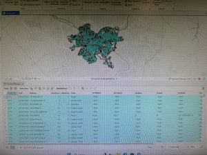
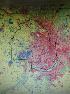
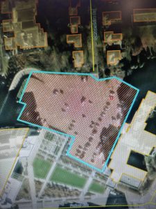
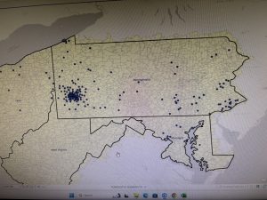
Below I have attached pictures of my work through various stages of chapters 4,5,6,7, and 8.