Chapter 9
9.1 I was ready to get started on a clean slate for part 3 so I’m glad this section was straightforward and simple. It was cool that when the buffers overlapped they just joined together.
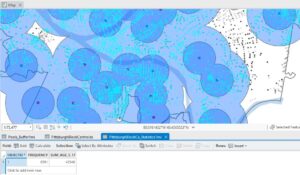
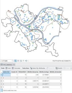
9.2 Creating multiple ring buffers was cool and I could see myself using it in a project in the future. Using the spatial join tool to see how many youths had good vs. excellent access was also very cool. Doing it with 3 rings was cool too.


9.3 This section was a bit more tedious but it was good. It was cool to create the scatterplot.
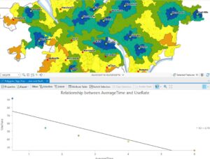
9.4 I had no problems with this section. The lines looked really cool. It is interesting how many ways you can interpret one data set.
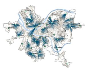
9.5 I liked doing the “Your Turn” part of this tutorial. I wasn’t sure if I knew how to do it but I figured it out as I went on.
Chapter 10
10.1 Changing the transparency of the land use map so that we could see the hillshade with it at the same time was so cool and I definitely see myself using this in the future.

10.2 This section was super easy. There was one part where I got confused: the book said to “run the tool” after symbolizing a layer. That was weird but I just ignored it.
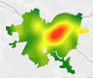
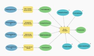
10.3 I had quite a few issues with this section. When I was using the raster calculator, and I clicked on the raster names to add them to the calculation, they wouldn’t fill in so I had to write everything out. I also messed it up the first time so I had to do this a lot and it was very tedious. I also suspect something else went wrong because my poverty image did not look the same as the books.
Chapter 11
11.1 This part was so cool!!! I feel like it might take a minute to get used to navigating with the keyboard but I feel like I’m already getting it! So fun! Picture from Denver.

11.2 This was another good section. I liked that we took out everything but the AOI. It would get kind of overwhelming with the whole world map.
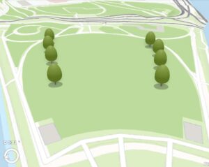
11.3 This section was so fun! The trees are so cute.
11.4 I didn’t really have any issues with this section, I’m just not sure I fully understand it. I know that a lot of the work done was to create the building heights, but I didn’t fully understand the process to get there. Creating the line of sight was so cool.


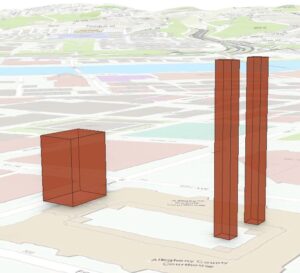
11.5 This tutorial was cool. Extruding the buildings was very simple.
. 
11.6 This section felt like google maps because of all the buildings on smithfield street.
11.7 Creating the video was so cool… I didn’t even know you could do that on ArcGISPro.