Chapter 9
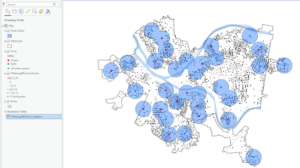
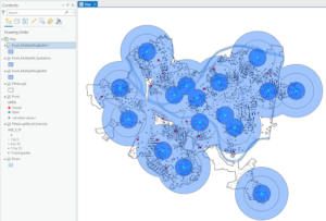
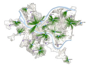
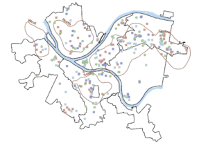
In this chapter, four spatial analytical methods were covered including buffers, service areas, facility location models, and clustering. The tutorials helped me understand how to use buffers for proximity analysis by running the pairwise buffer tool and multiple ring buffers. I was able to create service areas of facilities for calibrating a gravity model and locate facilities using ArcGIS Network Analyst. This chapter also taught me how to perform cluster analysis to explore multidimensional data.
Chapter 10
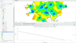
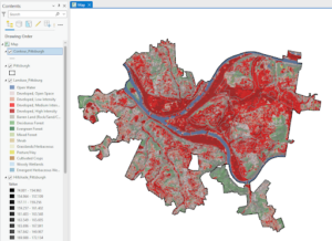
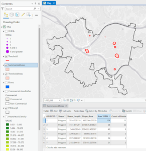
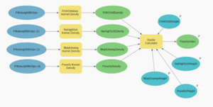
The tutorials had users process raster datasets to extract and symbolize maps and create hillshade maps. I learned how to make a kernel density map, or a heat map, as well as how to build a raster-based risk index model. It also required me to build a model for automatically creating risk indices. Throughout this chapter, I learned a lot about raster layers compared to vector features which we had been using previously. I found it useful when it taught me how to transform vector feature classes into raster datasets that could be visualized.
Chapter 11
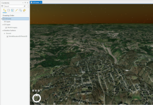
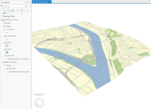
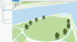
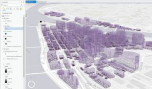
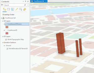
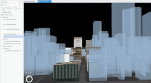
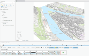
In this chapter I found it useful that the tutorial had us explore global scenes and taught me how to design, visualize communicate, and analyze them. The tutorials also had me create local scenes, TIN surfaces, and z_enabled features from this I learned the difference between global and local scenes. It allowed me to create 3D buildings from the lidar data so that I could work with the 3D features. I also used procedural rules and multipatch models but the parts I found most interesting, useful, and fun were creating the trees and the animation.