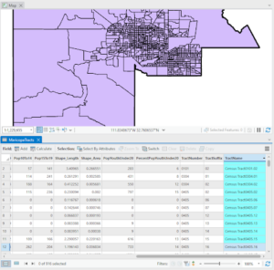
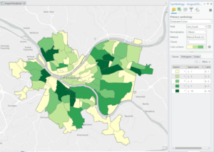
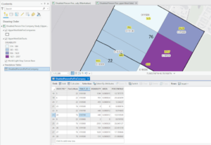
Chapter 4: This chapter was informative in describing what databases are as well as what they are useful for. It taught me how to import data into file geodatabases into new projects, how to modify attribute tables, and use the field tool. I found it useful how it walked me through how to join tables, carry out attribute queries, and aggregate point data to polygon summary data. I like how there were some parts where I could use creativity in the presentation of the data/map using symbology.
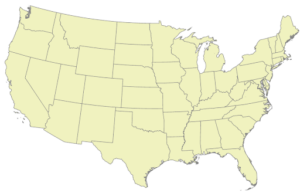
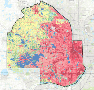
Chapter 5: This chapter was beneficial when it came to understanding how to work with world map projections and even us map projections. I now know how to set a projected coordinate system and how to work with vector data and examine their different formats. It was interesting to see how US Census Bureau spatial and tabular data (map layers and data tables) could be used in Arc and the book aided in navigating how to work with this data. The only problem I had was with the spreadsheet!
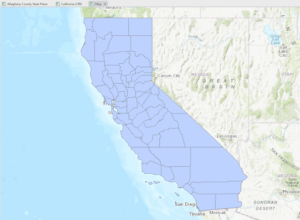
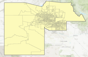
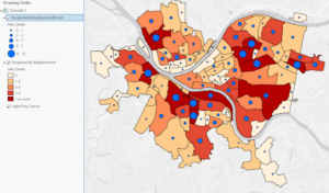
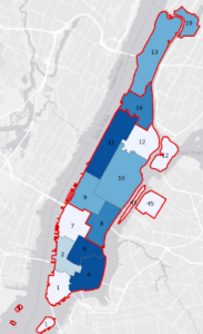
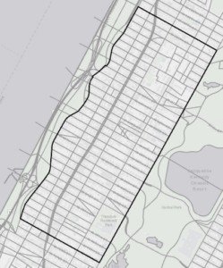
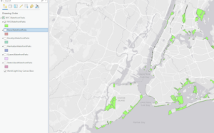
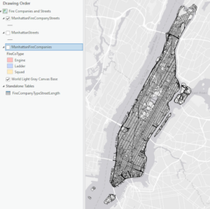
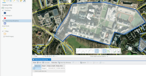
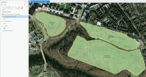
Chapter 6: This chapter showed me how to dissolve block group polygons to create neighborhoods and fire battalions and divisions meaning the interior lines from the block groups are removed but the outer boundary lines are preserved. It also showed me how to form a study area through the extraction and clipping of a neighborhood using its attributes. I learned how to create a single water map by merging several water features as well as how to create one layer of fire and police stations by appending their separate layers. It was helpful to gain practice and understanding in using Union, intersect, and Tabulate tools to combine features and tables for geoprocessing.
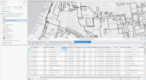
Chapter 7: This chapter introduced GIS tools that helped me gain an understanding of editing, creating, and deleting polygon features and creating and digitizing point features. With the tutorials, I was able to spatially adjust features and use cartography tools to smooth features. It also had me work with CAD drawings, or computer-aided design drawings, changing their features to align them with GIS maps. I don’t think I did the aligning properly but I found the process to be really interesting and useful.
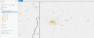
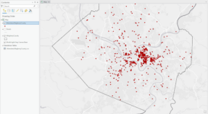
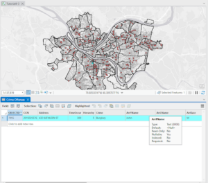
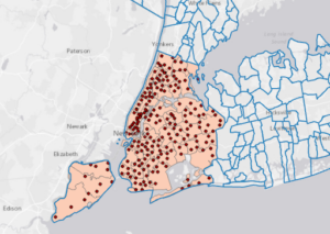
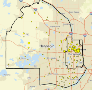
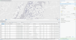
Chapter 8: In the tutorials in this chapter I learned about the geocoding process and geocoding using zip codes and addresses using streets. I learned that you can use geocoded survey data for many things like marketing, philanthropy, or just forms of communication with users.