Chapter 1:
- 1.1 — Easy to follow once the website was up and running. I am not too technological but found that this wasn’t too difficult to understand with some help from peers.
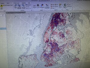
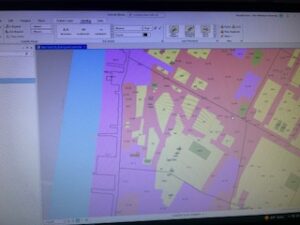
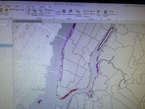
- 1.2– The attributes were hard for me to understand at first but once I got a handle it was simpler. I really liked being able to see the variations that can happen in GIS
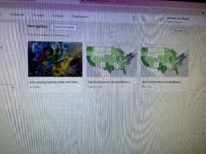
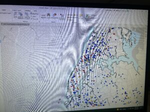
- 1.3– This was really cool to see the data and numerical values that the data has. I really liked being able to see the data and pinpoint where the information came from.
- 1.4– Couldn’t see the 3D map version and don’t know why. Might be that it needs to be updated. I am unsure of how to do that.
Chapter 2:
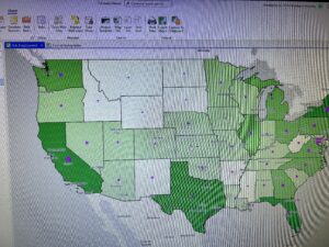
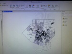
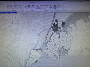
- 2.1– I really liked going through the changing of the colors. I did end up with a slightly different looking map than the book has. I am not sure what I did wrong because I went through the same steps.
- 2.2– I really like how we are working with the labeling part because in the previous section I still wasn’t sure if I was doing it right. Therefore this made me feel more confident in my abilities.
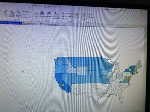
- 2.3– Changing the symbols and colors wasn’t as difficult as I thought it would be. I am really beginning to understand the various methods to all the programing.
- 2.4– I began to struggle on page 45. And couldn’t move the tabs in the contents area. I didn’t know how to complete the rest of the exercise for this tutorial.
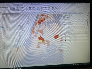
- 2.5– This one was short but I got stuck and couldn’t find the template symbol to change the squares to circles. Therefore I did it manually but then they disappeared from the map and I couldn’t get them the same color.
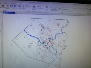
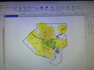
- 2.6– This was really cool to see the importing of data and to see various ways of navigating through the map.
- 2.7– I really liked changing the symbols and the corresponding titles. I feel like I am starting to grasp the program.
- 2.8– This was really cool to see the zooming in and out and how that can change what you can and cannot see.
Chapter 3:
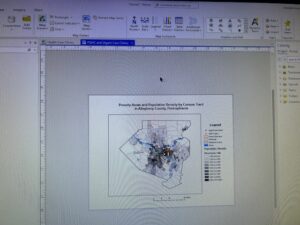
- 3.1– I struggled with this section. I couldn’t find the resizing and placing of the maps. I was able to create it but couldn’t find the areas for elements and properties. I couldn’t figure out how to move the map once I placed the ruler guides. I struggled with this tutorial and couldn’t fully complete it.
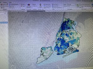
- 3.2– This was really cool to see the map on my computer and how it was able to be transferred onto the web version. I however couldn’t get the styles portion completed. It wouldn’t show up for me. I had a hard time working from the web version. I couldn’t find what I needed.
- 3.3– It was cool to see more of the arcgis web version. I believe I did the posting and creation of the app correctly.
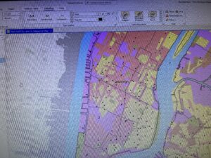
- 3.4– This was pretty straightforward. I did struggle with the pop-ups and therefore they don’t show up on the online version. Once it hit the adding of elements I lost some of the data and didn’t know how to continue.