Chapter 6
Much like chapter 1, this chapter’s goal is to have the reader make the audience use different ArcGIS Online features. In this chapter, you create data that can be analyzed and used in ArcGIS Online.
Chapter 7
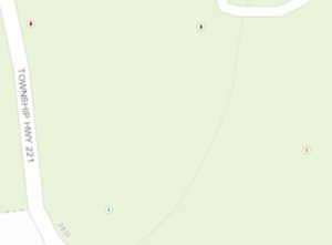
In chapter 7 you use multiple features to geocode data associated with a map. In this case, you match addresses to the correct businesses or create a zone within walking distance from a bike path to a company.
Chapter 8
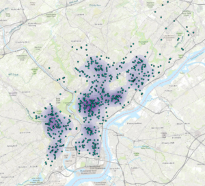
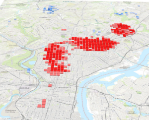
In chapter 8 you create a density map that is used to make a 3D map of the data using cubes. This is then used to show how the frequency of crime happens at hotspots over a certain amount of time. The time used is 1 month period over a year.
Chapter 9
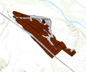
In chapter 9 you are analyzing the suitability of a vineyard at a location. In this example, you create an elevation map of a vineyard to find the slope of the location. This then allows you to see where certain areas are suitable but also allows you to analyze how much shade is found in the location over a certain amount of time.
Chapter 10
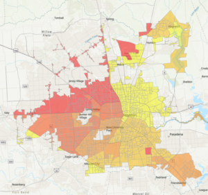
In chapter 10 you are mostly creating labels and boundaries for your map. This is helpful for the person making the map but also is better for future people that may look at the map in the future to understand the boundaries and the features better.
Super. Nice synopsis of each chapter’s work. Excellent. Hopefully you feel like you are getting a quick (almost sink or swim!) overview of ArcGIS Pro.