
Hello! My name is Lily Bechina. I am a freshman environmental studies major. I am from Chicago, Il. I became interested in the environment over covid lockdown. I found the effects from everyone staying indoors (very little travel) for a year very interesting. I went on to take an environmental studies class my senior year of high school and really enjoyed it.
Schuurman ch.1 Response
I found the reading from Schuurman very interesting. I really didn’t know anything about GIS and how it works so the reading was very helpful in understanding what we will be working with in this course. Although the diction could get technical at times, I still understood what I was reading and was able to take a lot away from it. The comparison made between GIS and calculators helped me to understand the uses and benefits of GIS technology. GIS must be used with an understanding of what is being modeled and how it is being done to be used properly.
Learning about how people use GIS differently and see different purposes/functions for it was eye opening to how complex the technology really is. I enjoyed reading about how GIS technology allows for unspecific data to be utilized and interpreted.
For GIS being such an intricate piece of technology, it produces something that people form their opinions off of in a more abstract way. Schuurman describes it as “unscientific” while also pointing out that forming opinions based on the visual aspect is supported by some researchers.
Although this is a small detail, I appreciate the author using the word “she,” when making a statement about GIScientists in general. The author is a woman herself, but it honestly caught me by surprise. Furthermore, I enjoyed the mention of GIScientists’ questioning if the technology is gendered and even touching on the social side of GIS technology. That dynamic is something I would love to learn more about.
Reading about GIS as a language that is much harder to understand and use than the English language helped me to see more of what exactly GIS technology has to offer. It honestly made me somewhat nervous about my own use of GIS because learning and understanding a new language is not quite easy.
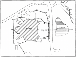
GIS Applications
One GIS application I found is for disaster management. Technology is used to study disaster patterns over time. It helps to understand the ways in which certain areas of land are impacted by disaster and better help to reduce damage in the future.
Another GIS application I found is for water resources. This application helps to predict where pollution may come from. With that, the pollution can be hopefully avoided. It also helps to watch the flow of polluted water and infer what that water will go.
Sources:
Faisal, A., & Khan, H. (2018). Application of GIS and remote sensing in disaster management: A critical review of flood management. In International Conference on Disaster Risk Mitigation.
Tsihrintzis, V.A., Hamid, R. & Fuentes, H.R. Use of Geographic Information Systems (GIS) in water resources: A review. Water Resour Manage 10, 251–277 (1996). https://doi.org/10.1007/BF00508896
You should be able to figure out the “language” of GIS without too much trouble.