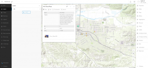
Chapter 1 functions to introduce ArcGIS online and the basic ways to use ArcGIS Enterprise. This system allows people to use the web in order to access information concerning almost anything. This system makes information instantly available for people from anywhere in the world. Web GIS is low cost, simple maintenance, easy to use, and good cross-platform capabilities. The different content layers of WebGIS include web maps and scenes, data layers, tools, and maps. The three layers of creating a WebGIS map are basemaps, operational layers, and tools.
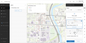
Chapter 2 focuses on mapping and storytelling The chapter delves into different hosted layers including tile layers, feature layers, WFS layers, hosted WMTS layers, and many others. The chapter discusses the many different ways to publish a layer such as creating the layer from a template, creating it from your own data, and creating a layer in which you define your own fields. The chapter also talks about smart mapping. This is a process that allows people to create, share, and analyze maps quickly. Analyzing the map could show patterns that a person might not have been able to catch themselves. The chapter lays out the traits of successful storytelling with ArcGIS and mapping. A successful story tells who, what, when, where, why, and uses multiple forms of media to tell a story. Making maps visually appealing and interactive in this way not only to make a map look pretty, but also to make the map easier to understand and analyze.