Chapter 7 was quite extensive in the intro but it did reintroduce 3D aspects, something which I found highly interesting during GEOG291 and is also one of my favorite aspects of GIS. There’s something about looking at it that sort of… tickles your brain? I’m not sure how else to say it. Anyways, Chapter 7 discusses the different types of 3D viewing such as extended reality (xr), virtual reality (vr), augmented reality (ar), and mixed reality (mr). I have had experience with AR and VR outside of class but that’s a different story. Chapter 7 also discusses different types of scene layers and how to create them, how to create web scenes in the scene viewer (which the tutorial goes into detail on) how to change 3D symbols in the scene viewer.
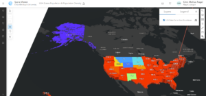
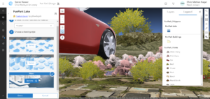
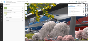
The tutorials themselves were a bit of a mixed bag. The chapter was a bit shorter than normal and went by quicker than others but it had its issues. Half the items were not where they were supposed to be and it took a significant amount of time to locate the items it wanted me to find. I’m not sure half of it was even correct as I had to guess what half of the selected items were. I also don’t think some of the 3D web scene icons worked correctly. For starters I don’t think Tesla’s are able to drive on water and I’m also fairly certain though I could be wrong that there is a bush reaching into the stratosphere in the mountains of California. I’m also fairly certain for 7.4 that there are no helicopters flying around which are bigger than the alien ships from ‘Independence Day’. My computer was also running extremely slow during this section which hasn’t happened before. 4.5 and 4.6 both went by relatively quickly albeit with the same problems of things being severely out of proportion. The slice feature was pretty interesting to play around with though.


As for an application idea, luckily this time I have a few more ideas. Given that I am an avid angler, I could theoretically create an app which shows a 3D layout of one of my favorite areas on the water back home in Cleveland.