My name is Lane Hughes. I am a senior Environmental Studies major. When poking around in my account I saw that there are training options available in eight different areas. I used this time to update my profile a little bit because my name changed. I also saw that there are forums, including a Young Professionals forum. ArcGIS Online was developed by Esri and will allow for the creation of maps on a web browser. This information can be used for analyzing and measuring location information. By using a web browser, data can be collected with mobile tools. ArcGIS Pro is integrated into ArcGIS Online.
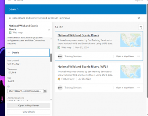
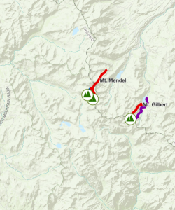
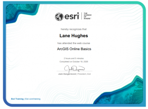
From this I learned that ArcGIS Online will allow you to create, manage and share the data. Layers are the primary way to work with the data. Operational layers display information like trees, roads, and bicycles routes and basemaps provide information and context. Creating and styling a map also sounds interesting.
Using Google Scholar I looked up ArcOnline and Climbing Routes in Ecuador. I looked this up because I am going to be mountain climbing in Ecuador at the end of this semester.
Castillo-Vizuete, D., Gavilanes-Montoya, A., Chávez-Velásquez, C., Benalcázar-Vergara, P., & Mestanza-Ramón, C. (2021). Design of Nature Tourism Route in Chimborazo Wildlife Reserve, Ecuador. International Journal of Environmental Research and Public Health, 18(10), 5293. https://doi.org/10.3390/ijerph18105293
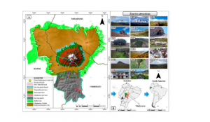
I also looked up ArcOnline and Porcupines and found the following source and map:
Khwarahm, N.R., Ararat, K., HamadAmin, B.A. et al. Spatial distribution modeling of the wild boar (Sus scrofa) under current and future climate conditions in Iraq. Biologia 77, 369–383 (2022). https://doi.org/10.1007/s11756-021-00936-1
w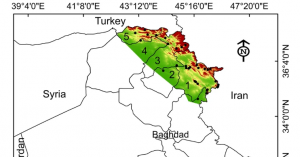
I completed the quiz for week 1!