The schedule says to skip Chapter 5 so I didn’t attempt the assignment/tutorial but I did still read it, albeit maybe not as in much detail as usual. Chapter 5 discusses the creation of a ‘self-managed’ or private Web GIS and the various reasons for doing so. Chapter 5 also discusses ArcGIS Enterprise, the version of the program made for private types of GIS programs. Also mentioned are ‘portal collaborations’, the differences between various tiles and features such as vector, raster, and feature tiles, and the different strategies for choosing any of the various layer types.
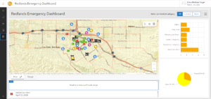
Chapter 6, as its title implies, discusses ‘spatiotemporal’ data, or data relating to space and time and details GIS systems which update data in real time. I’ve never heard the internet referred to as the ‘Internet of Things’ so that’s definitely interesting. Chapter 6 also discusses ‘stream layers’, how to use ArcGIS to look at real time data, and animate time-based data. As for the tutorial, looking at things such as real time traffic cams is interesting to see. It was nice to have everything going smoothly but I could only get as far in the chapter 6 tutorial to the end of 6.4 whereupon trying to tell the code to make a certain icon the color red, the arcade script code just decided it hates the color red or something and decided to stop working entirely, rendering the table completely useless. From what I could do though, I liked the idea of real time GIS.

To be honest, I’m not quite sure how I would go about making an application based on what was learned in chapter 6. Perhaps an app showing the real time flow data in streams and rivers?