Hello! My name is Wasif Karim, I’m from Bangladesh, doing a double major in CS and Physics at Ohio Wesleyan University, and I am set to graduate in May 2026. I’m taking this class because of my growing interest in geography and how technology, especially GIS, can be applied in diverse fields. Additionally, this course provides me with the perfect opportunity to integrate my programming skills and problem-solving techniques into new and exciting areas. Outside of my academic pursuits, I have been working in a Fortune 500 company as a software engineering intern since my sophomore year. I’m also the current president of OWU Robotics Club where enjoying working on various robotics projects like self-driving cars, autonomous drones, and so on.
Upon diving into ArcGIS Online, I first focused on the account settings and customization options. I found the platform’s user interface to be intuitive and straightforward, which significantly streamlined my navigation through various features like profile settings, data management tools, and training resources. One aspect I particularly appreciated was the flexibility to integrate and manage multiple data layers, allowing for more complex spatial analyses. The data integration and querying capabilities within the platform are impressive, especially considering my background with data-driven applications. The connection to external APIs and the ability to leverage Python scripting for automating geospatial processes is an exciting prospect for further exploration. Additionally, I explored the “My ESRI” section, where I could track available resources and training, which aligns well with my previous experiences in utilizing online development environments.
One notable takeaway from the reading was learning how ArcGIS allows for adding different layers to maps, which not only helps visualize multiple data sets simultaneously but also enables collaboration by sharing maps with others. Additionally, I appreciated the detailed explanations in each section of the reading, which will definitely be useful whenever I need guidance on how to perform specific tasks within ArcGIS.
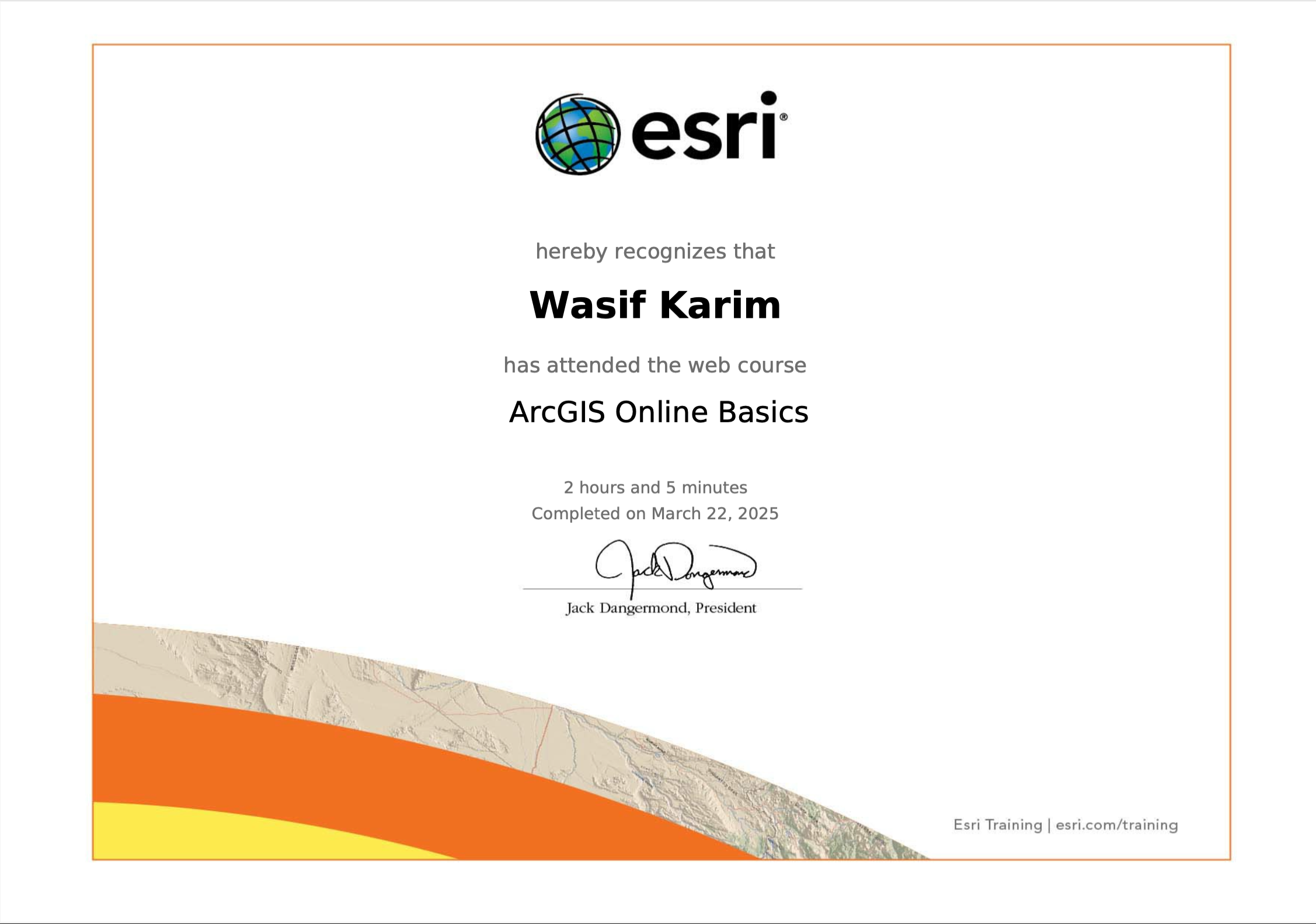
For my free training this week, I completed the “ArcGIS Online Basics” course. I learned about different types of web layers, their functions, and how to work with them in a more efficient manner. I especially enjoyed the hands-on practice with the platform’s map creation tools, which gave me a solid introduction to creating interactive maps and using GIS data. Here is a screenshot showing the completion of the activities in the four main sections of the course:
For my Google Scholar search (Carte de postes en eau autonome – Map of posts in eau autonome), as I was particularly interested in how GIS is used in the field of robotics and autonomous systems, areas I have hands-on experience with. One interesting article I came across was about using GIS to optimize autonomous vehicle navigation and path planning, which aligns closely with my personal project of developing an AI-driven self-driving car.

For my second Google Scholar search (Dron- loisir drone survol zones), I focused on the use of drones for recreational and environmental surveying. One article I found discussed how drones are being used for mapping and surveying various zones, including environmental and urban areas. The study highlighted how drones can capture high-resolution imagery and geospatial data, making it possible to monitor environmental conditions such as vegetation, water levels, and urban expansion over time. The integration of GIS with drone technology allows for detailed analysis and monitoring of areas that are otherwise hard to access, and it serves as a great tool for sustainable urban planning and conservation efforts. This aligns well with my interest in leveraging drones for advanced environmental and spatial analysis.

I’m excited to continue learning more about how GIS can complement my knowledge in programming and autonomous systems. The first week has been a great introduction, and I look forward to exploring more advanced features and applications of ArcGIS Online throughout the course.

