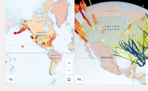
Chapter 3: This chapter was fun to complete to show the differences between 2-D and 3-D maps, specifically having them side by side. Doing simple GIS tasks also lets you learn about the world around you. I learned where the natural disasters happen around North America and actually on the GIS system, I learned how you can select certain points to view them easier. I was able to follow the instructions and pictures scattered throughout the chapter.
Application: From chapter 3, I would like to create a 3-D map showing the world’s tallest buildings and where they are located.
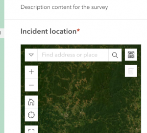
Chapter 4: Within these chapters, I have enjoyed working with different types of ArcGIS online systems. I really enjoyed making the survey. I didn’t know that was possible on GIS. This chapter is going to be really handy with regards to making maps of places and pin pointing certain locations and where they need to go. For example, making an amusement park map cellular would be a good example of a time to use this chapter’s learnings in. Also, simple paths can be made with a system like this to get from one place to another.