Chapter3
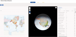
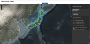
In this tutorial, I used ArcGIS Experience Builder to create a multipage web experience that integrates both 2D and 3D, all without any programming. I added widgets like Section, Map, Image, Text, Table, Filter, Chart, and Menu, and configured their content, styles, actions, and animations.
There were so many widgets that seem really useful in real projects, so I’m glad I got to learn how to use them. This tutorial was quite complex and took a lot of time, but when I finally finished it, I felt so happy seeing a web experience that looked just like the ones you often see online. It was really satisfying to realize I could actually do it myself!


Chapter 4
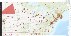
In this tutorial, I created a smart survey and used Survey123 to collect data. I also created an editable feature layer using feature templates, built a web map with forms, and collected points and lines using Field Maps. On top of that, I created a QuickCapture project and used it in QuickCapture, prepared data for AuGeo, and explored a simple AR experience.
The first part, making the survey form, was really easy and straightforward. But after that, things got pretty challenging. The instructions in the book didn’t always match what I saw in the web GIS interface, which made it take a lot of extra time. I really found myself thinking, “ESRI, please check this and update it!”
