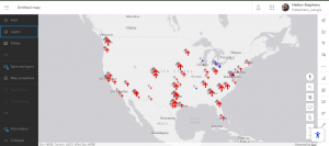
Chaoter 1
In this tutorial, I published a feature layer using a CSV file, added attachments, created a new attribute field, and entered its values. Then, I added the layer to a web map, configured the style and pop-ups, and built a web app using the Attachment Viewer template. According to the book, this app can be used on smartphones and other devices, which I think is really convenient.
Honestly, when I started this tutorial, I was using a different edition of the book for the first time and felt completely lost. I thought I’d never get it done. But in the end, I managed to complete it, and it feels great to have it working!
Chapter 2
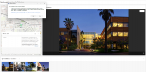
In this tutorial, I created a feature layer using geocoding, styled it with smart mapping, and configured the pop-ups using Arcade. I also added images, links, and charts to the pop-ups. After that, I built an ArcGIS StoryMaps web app, embedding videos, images, web maps, and scenes, and set up sidecar and swipe blocks.
One thing that really surprised me was seeing how small New York’s population was in 2010 compared to now, while Columbus actually had more people in 2020 than I expected.
In tutorial 2-2, there was a part where I was supposed to choose “above and below” as the theme, but when I was doing it, that option wasn’t available, so I just went with “above.”