Chapter 3
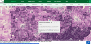
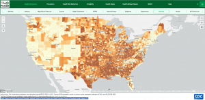
ArcGIS Experience Builder is a tool that allows you to create different types of content, that does not require exuberant code to do so / very low code. Along with the creation of different content, some specific methods of using this tool are widgets, 2D and 3D data can be drag and drop interface, custom tools, integration of other apps, mobile optimization (mobile GIS down below), and different templates.


Chapter 4
Mobile GIS is a combination of the traditional GIS software onto a smaller piece of technology– something that is portable, (i.e. cellular phone, tablet, laptops). MobileGIS provides access to downloadable geospatial data, printable maps and interactive mapping applications. While Mobile GIS does have relatively amazing abilities for the physical size of technology the program is being run on, the smaller size of the screen causes lack of visibility to some degree.

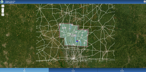
Application: Based on some data that I have seen using applications of Mobile GIS and ArcGIS Experience Builder, I think that having a study and inspection of areas affected by gas-leaks over the last 10 years within Delaware County lines. Many people are affected by spontaneous gas leaks, but also ensuring that these are solely spontaneous, are not occurring in patterns, and studying the areas and the people affected by these would ensure the safety of people and animals nearby. Along with this, some sort of method of obtaining information besides surveys and technological monitoring devices should be used.