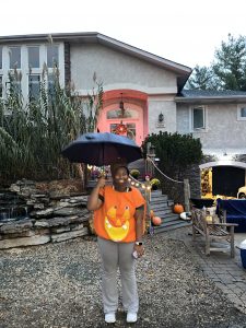
Hello! My name is Ava and I am currently a junior with senior status! My major is East Asian Studies and I just returned from Studying abroad in Japan last semester! I took a course with previous professor Katsutoshi and was on the TPG to study soil in Japan, but I decided it was best to come home early to see my family and dog, Biggie Smalls! This is my first GIS course that I am taking, so I am very excited to be shown the ropes and discover everything that it has to offer. After taking the ESRI ArcGIS Online Basics, I did some digging on the site and found a lot of interesting articles and maps that did not pertain to more scientific studies. I figured that since it was more of a geographic mapping system, that everything there would be more likely than not about mountains or trenches, so I was pleasantly surprised to find that this was not the case in so many instances.


Race and Ethnicity in the US by Dot Density (2020 Census)
I thought that this map with population density categorized by race was extremely interesting as like I previously mentioned, this was definitely not a map that I thought would be listed, nor did I fully comprehend would be made using this programing either.

Get Started: What is ArcGIS Online

Public accounts are available for use, but have limitations in terms of what can be used and viewed. While there are limitations, there are still many things to access and functions to use. Public accounts are not associated with any organization.
Something else I had found that will be extremely useful for the future assignments as well as I had found it interesting was the “Get Started with Map Viewer”. Not only was it a basic breakdown/introduction to the Maps’ feature, but it also had uses for functionality, detailed explanations, and pictures as well for clear instructions.