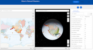
In the tutorial for chapter 3, I was able to create a 2D and 3D web experience using the Experience Builder in ArcGIS. The screenshot below shows the final webpage I created. The tutorial guided me through how to add many different widgets that all carried out different functions, it also showed me how to style these and edit actions and animations. I think it would be good to utilize the web experience builder tool from the chapter in my final project, I like how interactive it is.

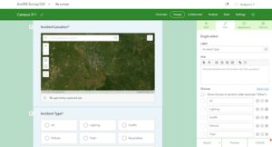
In the tutorial for chapter 4, I used ArcOnline to design a survey and collected and viewed data using this survey. In another section of this tutorial, I learned how to create an editable feature layer with attributes and domains with attachments and templates, using this layer I was able to configure a web map. I also created an ArcGIS quick capture project using the layer I created previously and collected data. This was not my favorite chapter but I can see how useful the survey might be if I decided I wanted to gather data myself for my final project.
