Chapter 1
Chapter 1 introduced me to the fundamentals of ArcGIS Online and how Web GIS allows data, maps and applications to be shared and accessed by anyone around the world. I was able to learn how to create a feature layer from a CSV file, add attachments and even build a web app using the Attachment Viewer template. Web GIS is powerful because it makes mapping both interactive and collaborative with advantages like easy access, cross-platform compatibility and low maintenance. I also learned about the key components of a web map that are basemaps, operational layers and tools which work together and makes information functional, clear and visually appealing. 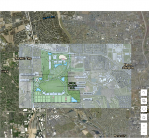
Chapter 2
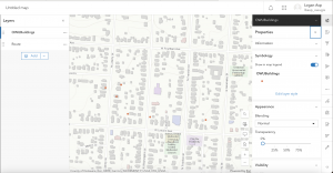
Chapter 2 was all about smart mapping and storytelling. I learned how to publish feature layers using geocoding, style them using smart mapping and enhance pop-ups with arcade expressions, charts, and images. This chapter also talked about ArcGIS StoryMaps which can combine maps, text and multimedia for telling spatial stories. The use of sidecar and swipe blocks allows users to explore relationships and change over time making data easier to understand. I liked how smart mapping can reveal patterns like population changes or housing trends without needing to analyze each data point manually.
Application Idea
One potential application I could do is a StoryMap that would showcase how Hilliard, Ohio, which is where I am from has grown over the years by showing new housing areas, schools and parks. This would include photos of local parks and pop-ups with graphs showing population growth. I could also do a section on Ohio Wesleyan University where I can map out key campus buildings and green spaces while using a swipe block to compare how the layout of campus has changed over time. This would help in visualizing community development and environmental balance here in Central and Delaware Ohio.