Hi my name is Logan Asp and I am a freshman here at OWU. My current major right now is Data analytics and for this weeks post, I took the quiz for Geog 292, read the syllabus and schedule and also scheuled a meeting with Dr. Krygier.
ArcGIS can help us map 2D and 3D data spatially. It is also a cloud-based platform that can create apps, web maps and can share geographic information with other people.
I completed the ArcGIS online basics course. Throughout the course the 2 things I learned were the layers that are drawn on top of the basemap are called operational layers and a tile layer is a collection of prerendered images or quick-to-render vectors that can be rapidly.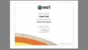
Under the training section, two other courses that interested me were manage an ArcGIS Online Organizaton and Field Data Collection and Management Using ArcGIS.
Two Applications I found using Google Scholar were: