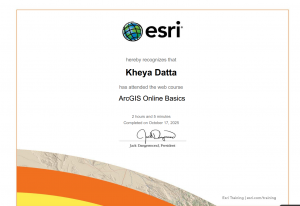
Hello! I am Kheya Datta and I have a Biology major with a minor in ENVS. I did the Syllabus Quiz and already have a GIS account from last semester. I signed up for the meetings.
ArcGIS allows us to map 2D and 3D overlayed with various features, such as infrastructural plans, scientific data, etc. The online variety allows us to share and collaborate on projects without the hassle of emailing files to each other and for better public maps in the form of webapps.
I completed the Online Basics course

2 applications I’ve found:
– I don’t believe it’s actually public but DelCo Water (my internship place) uses webGIS to map quite a bit of stuff, such as influent points for where they take in water for the reservoirs to inevitably be processed into drinking water
– NOAA also does some mapping of harmful algal blooms, especially in the great lakes region. This is useful if you study algae but also I don’t think the average tourist wants to swim in water that’ll give them cancer (https://coastalscience.noaa.gov/science-areas/habs/hab-monitoring-system/cyanobacteria-algal-bloom-from-satellite-in-western-lake-erie-basin/)