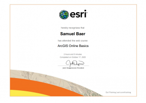
Hi! My name is Samuel Baer. I am a junior from Mt. Gilead Ohio studying environmental science and geography.
I took the quiz and I have made my appointments for weeks 2 and 3.
Poking around the account was interesting. I wish My ERSI was a little more accessible but it’s fine. Also I think it was funny to see some of the community posts. Some of them were interesting, and some of them were a little strange.
The starting page was fine. I felt like the training was better at explaining everything, but if I was trying to refresh myself this article would be fine. It is a really good spot to quickly trouble shoot any issues.
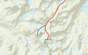
The training wasn’t as meticulous as I was expecting. I liked that we were doing the practice maps with mountains, just because I like that kind of stuff. I also thought the 3D imaging was cool. To be honest I would do that to plan a hiking or backpacking trip.
One of the two applications I found was of Indian Ocean Ostracod sites. Having these sites mapped out allows them to overlay them with other environmental factors like wind and temperature.
- Field Data Collection and management Using ArcGIS
- Take Your Web Maps Offline with ArcGIS Field Maps
I liked these because they both felt like extremely practical applications for GIS. They seem like they would be really useful longterm.