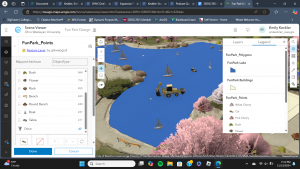
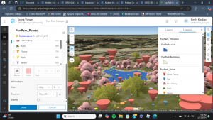
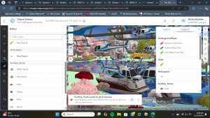
When I got onto ArcGIS, I was notified of a new update- how exciting! Chapter 7 was by far the most fun chapter to interact with. I greatly preferred working with 3D in this chapter compared to in the previous chapters. Apparently, you can even make clouds in GIS- which sounds like a fun detail to include when looking at architecture in an area with frequent rain and overcast. Throughout the tutorials, I found myself enjoying trying out different object symbols within the Fun Park. There were cars- represented as backhoes in my scene- in the lake and other peculiar places; this was also the case with the boats. That was a very weird detail. I could not locate “Elevation Mode” while I was completing the tutorial, so I just went on without it. It is a nice feature that the Fun Park scene used for the latter two tutorials can be updated by anyone, but the scene became very messy. My laptop’s performance dropped so significantly from all of the objects, and error messages were popping up about the scene’s server. I also could not locate the tools within the Analysis section for the final section of the Tutorial. Once I reached that point, I ended the chapter.


A final project idea that I have could be to map trees, benches, plants, etc. around the residential or academic sides of campus to create a 3D web scene. Another potential idea would be to map out the locations of public benches and other amenities at the Blue Limestone Park just a short walk from Sanborn. Seeing where benches and other amenities are- or are not- can be insightful as to accommodations that the city makes to be accessible to people who may feel the need to sit or activities that are available at this park.