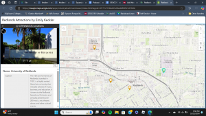
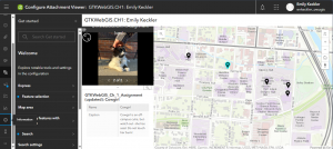
Chapter One was very informative and helped me in getting more intimate with ArcGIS. It developed the significance of GIS as a whole in being used as an accessible way to share information across the globe. I did need a bit of outside help with figuring out how my laptop works with uploading excel files and C: drives, but that was my most significant hurdle in navigating Chapter One’s tutorial. Turning a map into an Attachment Viewer App was far more straightforward than I had initially thought it would be. After completing the tutorial, I did go ahead and make a little app myself to help reinforce everything I had learned thus far. Once again, uploading excel files and C: drives were a battle, but I came, I saw, and I conquered.


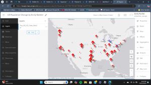
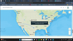
Chapter Two was a jump from the preceding chapter in the amount of content that it covered- especially within its tutorials. The emphasis on creating a story web app following a “Who, What, When, Where, Why” template was reminiscent of writing summaries in first and second grade. Though, that model does hold up in a more nuanced and complex application as GIS. I did come across an issue with renaming something, but I let it be and had an opportunity later to rename. There were also a few details that had changed from the tutorial (ie. there was no “subheading” or “large paragraph” within the Story Map App Launcher- just “heading” and “paragraph”), but I persevered. I took a decent amount of time going through everything to make sure that it was right, so I would say that everything went smoothly on my end. Something that I noticed in the book was that, when directed to draw an arrow from New York to North Carolina, the book had drawn the arrow to Virginia instead of North Carolina, so that must have gotten past the editing team.


An idea that I have for an application from the content of Chapters One and Two is to survey around campus as well as the Downtown Delaware area for different outdoor cats. This could be a mix of quantitative data for the locations of different cats as well as qualitative data (ie. if the cat is approachable,etc.). I could send a survey to people willing to share information on the cats that they have spotted in addition to venturing around to take photos of and mark the locations/addresses of where different outside cats can be found. Another possible idea would be to document the different types of flora that can be found on campus- specifically bushes and flowers.