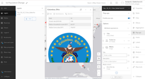
In the first chapter, I learned how to create layers from CSV files and add attachments to them, as well as how to add an ID field to a layer to display photos in organized sequences. I also learned how to add feature layers in Map Viewer and configure its style and pop-up. This tutorial also taught me how to transform web maps into web apps using the attachment viewer template. I like how the app I ended up creating was user-friendly and accessible across platforms.
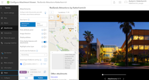
In the second chapter tutorial, I learned how to create a feature layer from a CSV using geocoding, and how to configure layer styles on the visualization tab using smart mapping. I also learned how to use ArcGIS Arcade to configure layer pop-ups and how to add images and charts to these pop-ups. Finally, I created a story map and added swipe blocks and an express map