Hi, my name is Evan Miller. I am a senior, and I just finished taking GEOG 291, and am eager to learn more about GEOG 292. Below is some information on what I did and what I learned:
I first started by looking into the basics of the website. I have briefly used the GIS online website before in GEOG 291, so it is a good way to refresh what I have already learned. One thing that I learned is that you can link GIS online accounts. Another thing that I learned is that there are specific training courses on GIS Online, which I found quite interesting.
The next step that I took for this week’s assignment was to read over what the overall purpose of the GIS Online website is about. One thing that was new information was that you can create maps on the website. Since I took GEOG 291, I thought the main purpose of GIS Pro was to make maps. However, it seems as if you can also do similar things on GIS Online compared to GIS Pro. Another thing that I learned was that GIS Online promotes work in the field, as that can be one of the many ways to collect data for potential projects on the website.
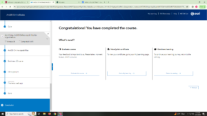
The final part of this week’s content that I worked on was completing the GIS Online basics tutorial. One of the many things that I learned was that there are different ways to sign in. The three ways one can sign in is through an organization, as a public user, or as a social user. In order to gain the most access to what GIS online has to offer, then the organizational login would be the most ideal. A public user can still create content, while a social viewer can only view content. Another thing that I learned is that there are three ways to upload layers, which are through the website directly, with local files, and through sketch layers.
