Introduction:
My name is Isabel Allo and I am a sophomore majoring in Biology and minoring in Nutrition. This is my first time taking a GIS class. So I created a new account.
Getting Started:
I looked around my profile and figured out I could add a profile photo, but I didn’t have a picture of the right size. In the settings, I couldn’t figure out the difference between the map viewer and map viewer classic. I like the Community and Forums part because I think it will be a good resource if I have a question or if I am confused about something. I clicked on a new map and found my house.
Reading:
One thing that I found interesting from the reading is what you do with this software is meant to be shared with others and collaboration is a big part of this. The software makes it very easy to share your work with others. I looked around the creating maps part of the reading and it makes me excited to start creating something. It’s very cool that there are so many possibilities for customizing a map. I also didn’t know anything about the scenes that you can make; that seems interesting too. I also like that this is about how to present data in a way that all audiences can understand and interpret efficiently.
Training:
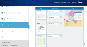
I thought the training was very helpful. I liked the step-by-step on how to start creating maps and adding layers. I noticed a strong focus on the level of sharing that is possible here. I get the impression that this aspect is a very crucial part of this. I also didn’t realize before how customizable the maps and scenes are. There is a lot of room for creativity and a lot of possibilities when it comes to creating maps. With that, I now understand the role the apps play in presenting this kind of information.


Applications:
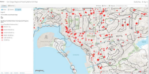
Using Google Scholar I decided to look up “ArcOnline Food Insecurity.” I found an article titled “GIS Project Helps with Food Insecurity and Waste.” The headline reads “According to the United States Department of Agriculture (USDA), Americans throw away 30 to 40 percent of the entire US food supply.” Source: Baumann, Jim. “GIS project helps with food insecurity and waste.” ArcUser Fall 2020 (2020).

I also found another interesting article called “The Impact of the Via Bus System on Food Deserts.” This study mapped all places that supply food and whether they were within walking distance of the bus stops nearby (≤ 0.5 miles and ≤ 1 mile). I thought this was particularly interesting because of how it considers the walking distance when determining whether food is accessible to all in the area.
Source: Maddox, Emily, “The Impact of the Via Bus System on Food Deserts” (2018). Theses & Dissertations. 347.https://athenaeum.uiw.edu/uiw_etds/347
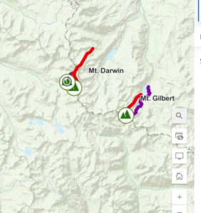
Another interesting application I found was from the article “Eagles and Wind Turbines: Using Maps to Protect Animals and Increase Renewable Energy Use”. This article was interesting because it shows a real application of an environmental scientist using this technology. This might be something I am interested in pursuing later on in my career so knowing that learning about GIS will be helpful is encouraging.
Source: Douglas Leeson, Thomas C. Hammond, Kate Popejoy, Alec Bodzin, Michael Hardisky & Sarah Lew (2022) Eagles and Wind Turbines: Using Maps to Protect Animals and Increase Renewable Energy Use, The Geography Teacher, 19:4, 178-182, DOI: 10.1080/19338341.2022.2117725