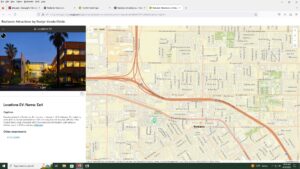
Chapter 1- Getting Started with Web GIS
- Grasp the concept and advantages of web GIS
-
- it removes the distance constrain and allows more freedom of interaction globally and access to information faster
- a large number of users low cost per user
- easier to use, and maintain and better cross-platform capabilities
-
- Understand the deployment patterns of web GIS
-
- government, business, science, and daily life
-
- Learn the components of the new-generation Web GIS
-
- Geospatial cloud powers GIS now
- a portal that helps to organize, secure and facilitate access to GI products
- servers let you create content
- users can search learn and use the layers maps and apps on almost any tech anywhere anytime
-
- understand the technical evolutions and trends in web GIS
-
- closed to open web
- from one-way to two way information
- cloud GIS delivers GIS functionally and ready to use
- mobile is becoming the pervasive web GIS client
- Map visualization is 2D, 3D and virtual and data sources goes from static to real time and spatiotemporal big.
-
- understand the concepts of web services and hosted feature layers.
-
- the layers can include, feature layers, tiles, vector, map image, image, science, CSV, tables, and open Geospatial consortium layers like keyhole markup language
- 3 types of components for Web GIS layers
-
- publish hosted feature layers from CSV files
- learn the workflow for creating web maps and web apps

Chapter 2- Smart Mapping and storytelling with GIS
- create hosted feature layers using CSV files and geocoding
-
- there are hosted feature layers, hosted web feature service layers, hosted tile layers, hosted vector tile layers, hosted web map tile service layers, hosted scene layers, hosted map image layers
-
- design layer styles using smart mapping
-
- configure pop-ups with multimedia content and arcade expressions
- understand ArcGIS living at last contents
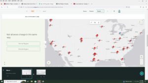
- create and ArcGIS story maps story with sidecar, express maps and swipe blocks
