Proposal: Collaborators: Smith, Kerns, Siefker, Taylor
Rough Proposal. 2.3.14
I. Review data from previous restoration project. Our group has discussed the validity of using and building on previous project, and collaborators to keep this momentum moving in a continuous pace.
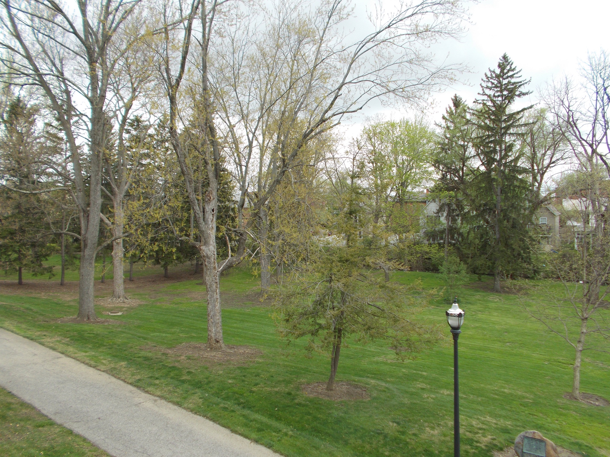
II. Visually assessing the property to get a better understanding of the project and its implication. This will better our understanding of the work that has been completed and what needs to be prioritized.
Issues that we are going to have to deal with.
-
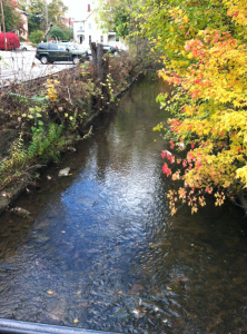
The route of the run
-
How it will affect the trees
-
How much we will be able to change the path (How much will the contractor do)
-
Is there anything we have to work around for the path( utilities etc..)
-
Coordination of different groups
-
Who is involved with this project (Names and contact information)… Kristin Piper (City of Delaware watershed coordinator), Peter Schantz (OWU’s Head of Buildings and Grounds)—> obstacle due to Eliot Hall which is their main focus right now.
-
Do we all have the same view on the project (on the same page)
III. Create an OWU wordpress blog site.
IV. Developing a better understanding of our project jargon. Research differences in EPA restrictions for stormwater credits.
research on storm water credits—>
Ohio: http://www.neorsd.org/I_Library.php?a=download_file&LIBRARY_RECORD_ID=4699
Delaware:http://www.delawareohio.net/UserUploads/UserDocuments/Departments/Public_Utilities/StormCreditManual.pdf
V. Get a drone scan and layout of the area in question. Get better understanding of existing vegetation to find what bio-obstacles are in the path of restoration. (Email Prof. Blanks to get approval)
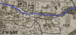
VI. With all information received start a preliminary mapping of the suggested stream reconstruction.
VII. Meet with city legislation to see if our projected plan has possibility, or needs revision.


