Historical maps and photos of Delaware Run and surrounding areas. In chronological order.
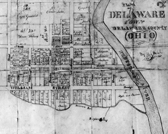
1830: Plan of Delaware Town Delaware County (Ohio) (source: Ohio Historical Society)
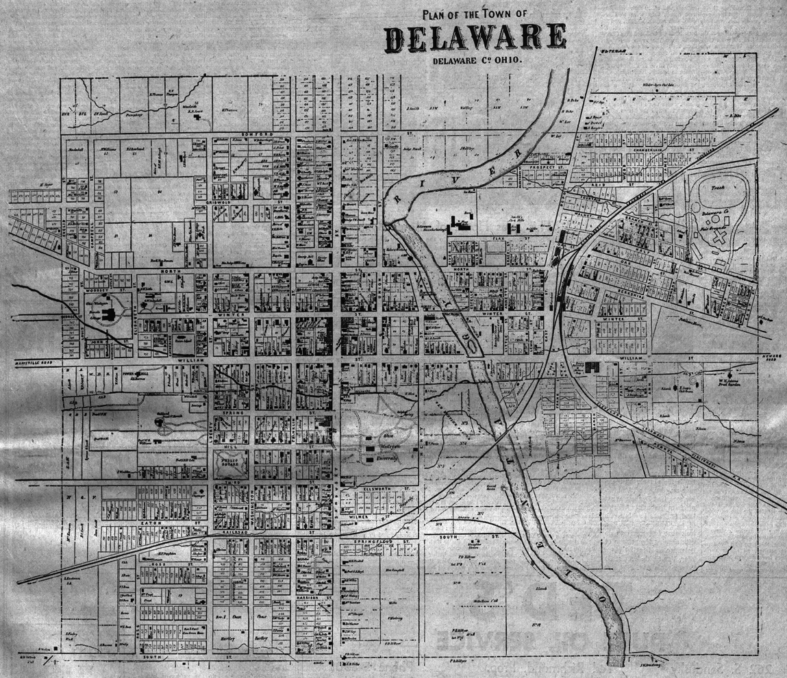
1860: Plan of the Town of Delaware, Delaware Co. Ohio (from the Delaware Gazette, source: Ohio Historical Society)
Full page original here.
Right click map below for larger version:
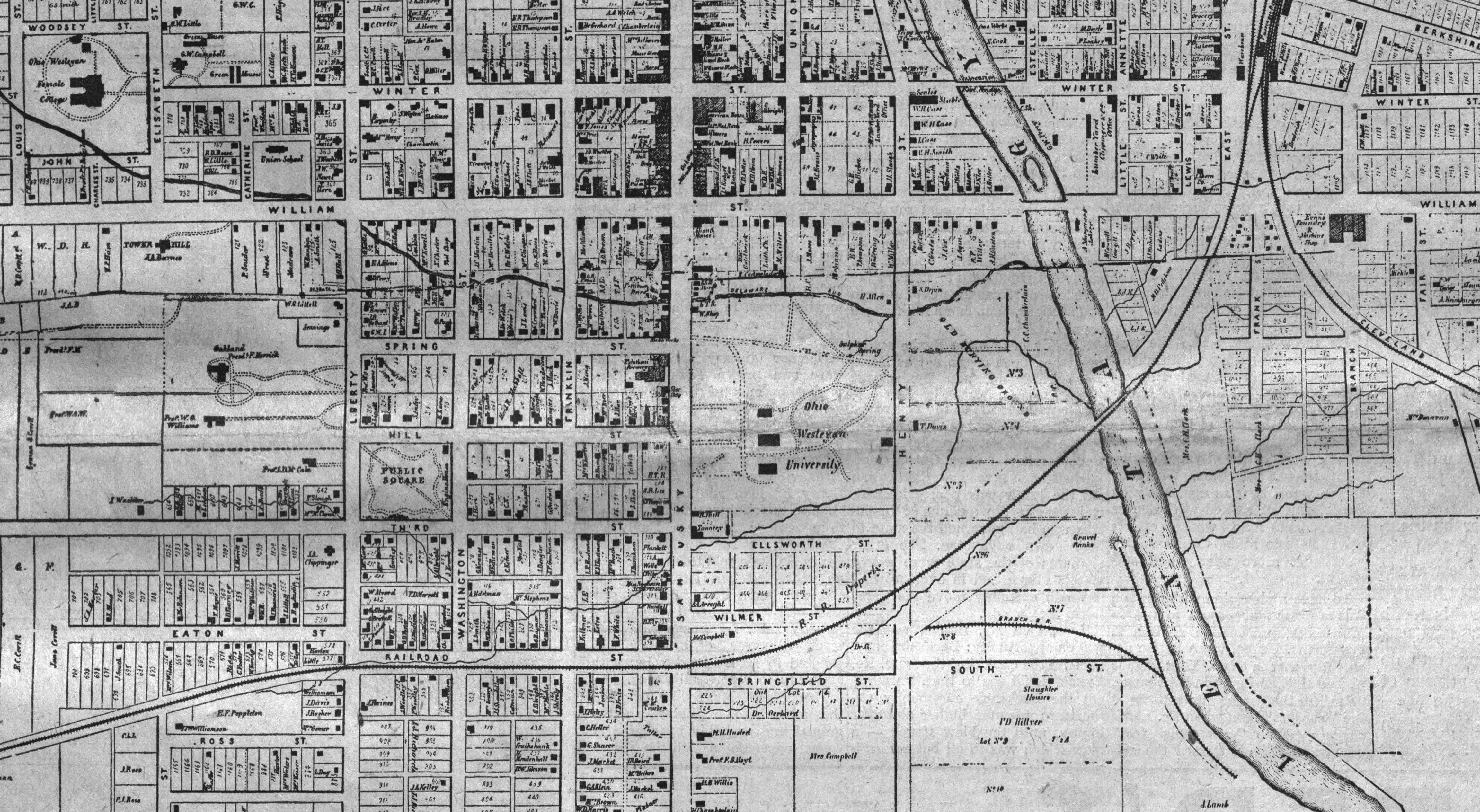
Close up of the area around downtown Delaware and OWU Campus. Right click map below for larger version:
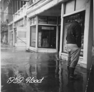
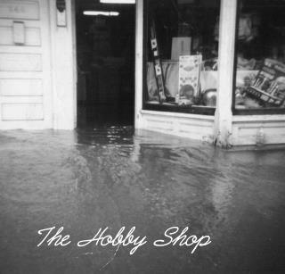
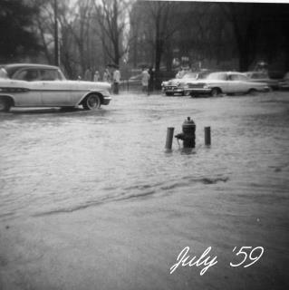
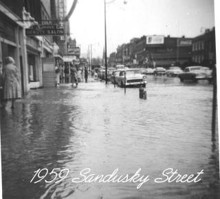
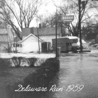
1959 Flood of Delaware Run and Olentangy St.