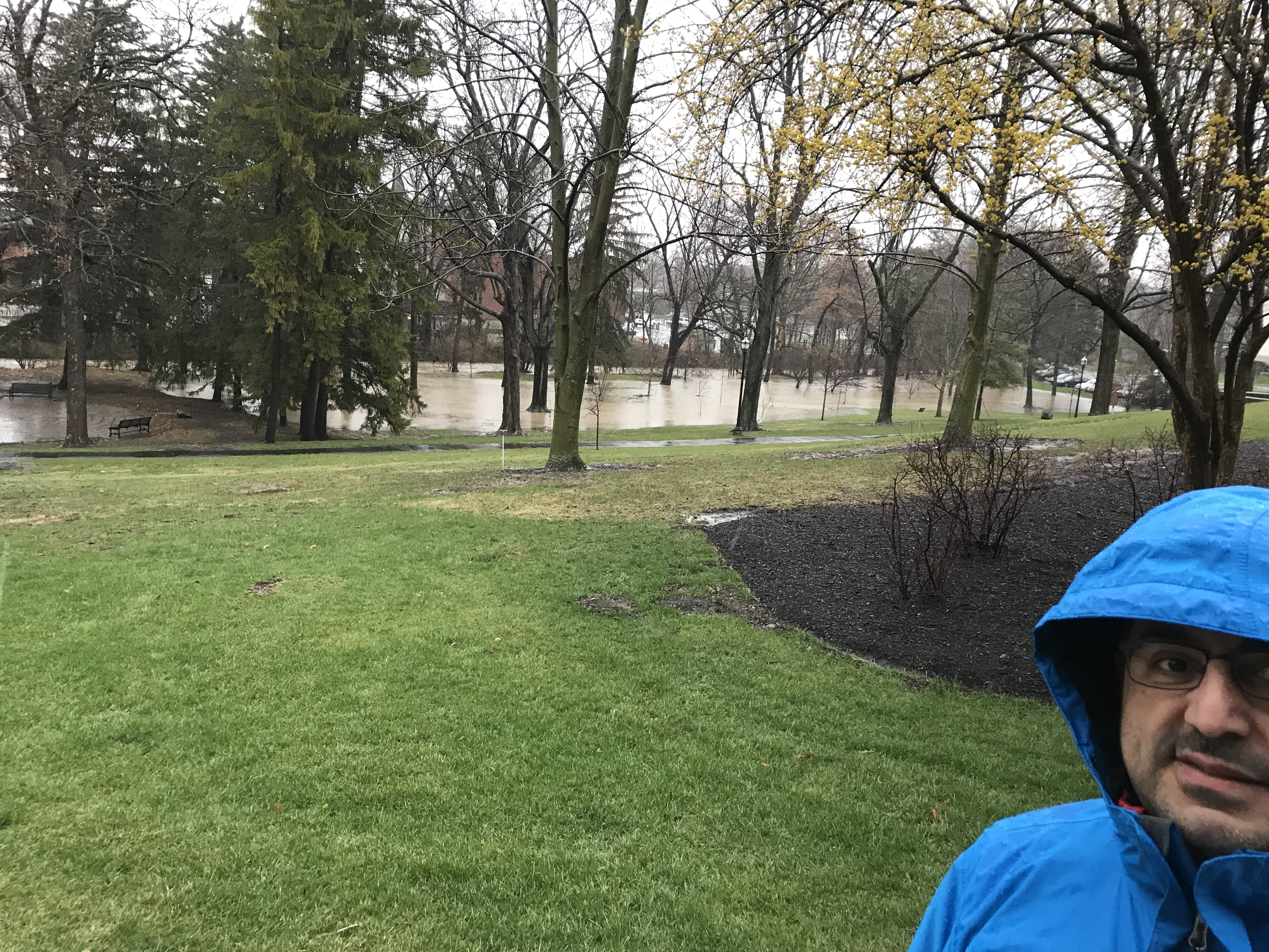
Dr. Amador Rowley (Geography) looking quite concerned about Delaware Run flooding along the north side of OWU’s campus. There is not typically a lake (with ducks) in this location. The channelized stream bed can be seen in the background, in front of the stone wall.
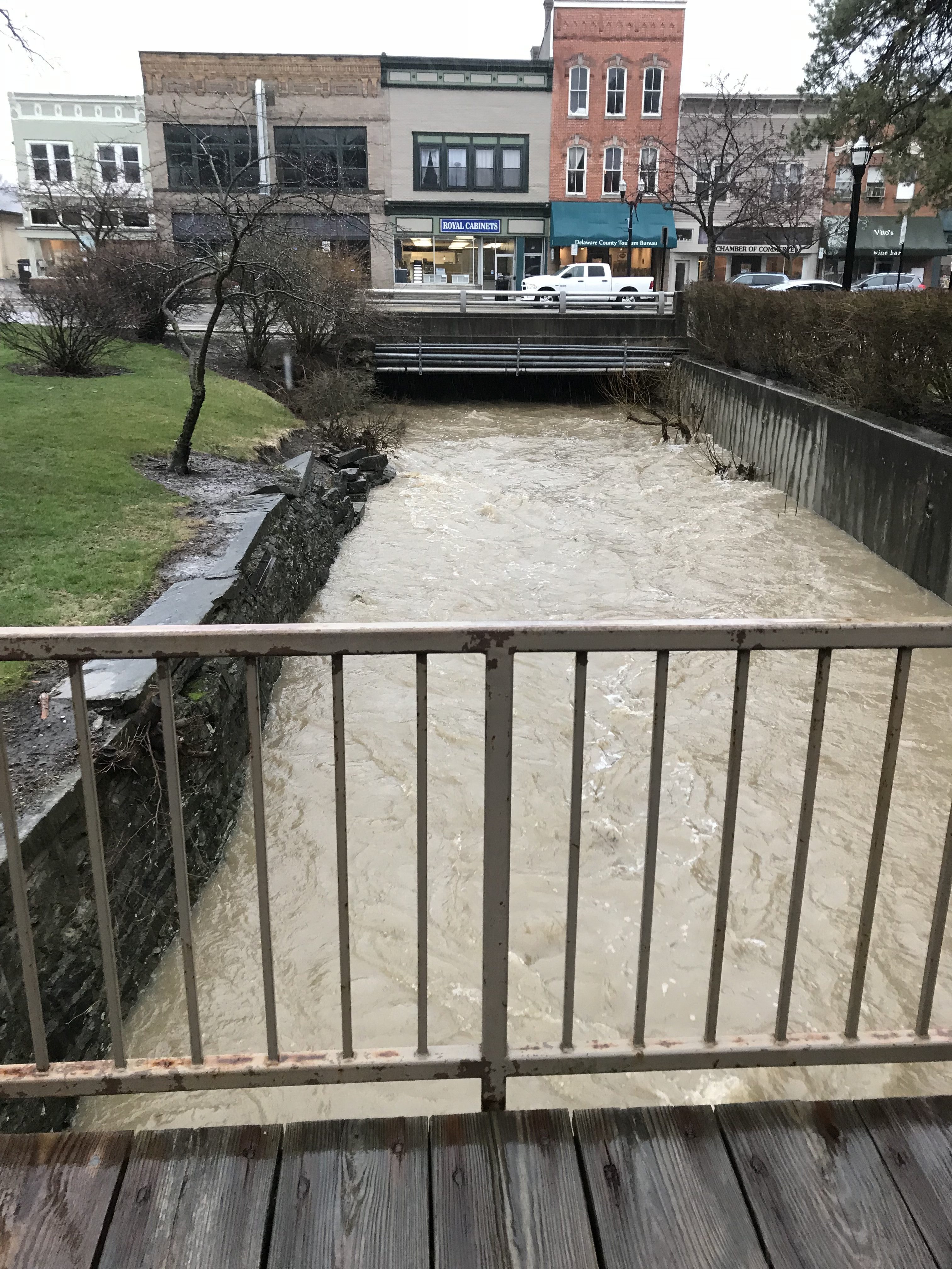
Below find an image of the Delaware Run as it emerges from under (!) downtown. The water level is about 2′ t0 3′ above normal. Notice the stone walls on the left beginning to erode away.
Continued development upstream, with inadequate stormwater retention, has led Delaware Run to flood at an increasing rate. Restoration of wetlands and other remediation efforts are part of the Delaware Run master plan, currently under development.