This weekend, I was lucky enough to visit a few of the Ring of Kerry historical sites with my archaeology class, checking out a few Early Medieval sites on the Dingle coast.
We started off our day visiting the two ring-forts of the local king, and could see out onto the island where the Vikings made their base and Church Island, the royally funded ecclesiastic settlement. These where interesting sites, which you can read all about in the next issue of the Trident.
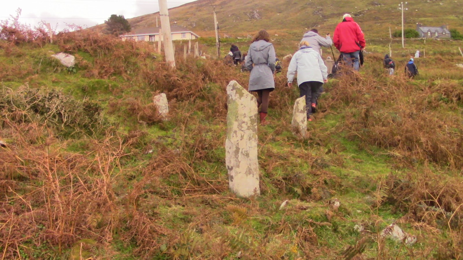
After a quick stop for lunch, we drove down to our next site. Or rather, we drove down to our walk down to our next stop– first we had to walk over a mile through the winding, muddy dirt path to the site, hopping over some animal dung and fences for good measure. Apparently the path use to be in much better repair, until the local highway was paved and stole all the traffic. But I could use some more cardio, so it was probably worth it.
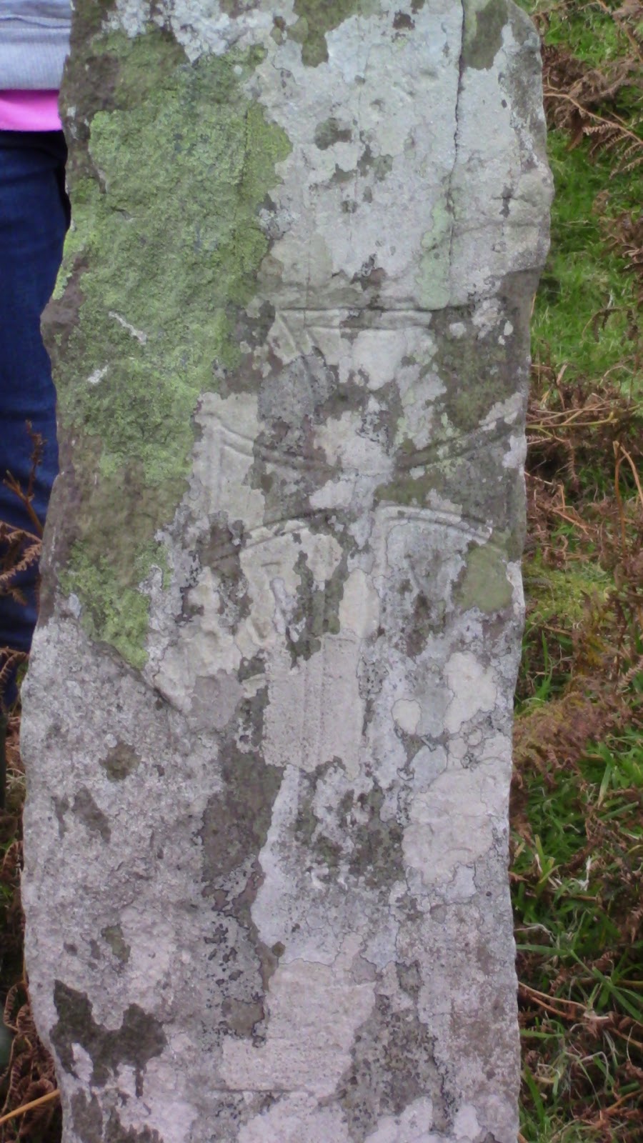
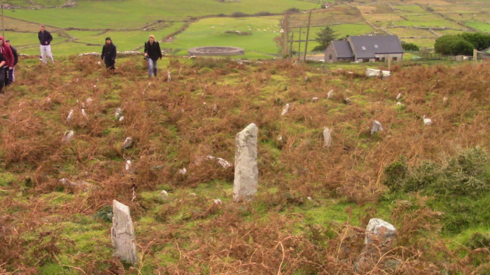
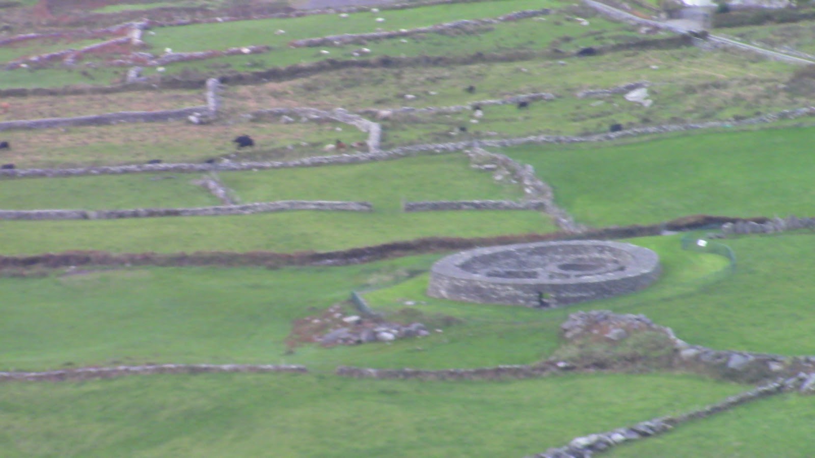
The site we ended up going to was an old church from the Early Medieval period, no longer in a ruinous state. Unfortunately, it was no longer in ruins not because a good conservation effort, but because those Late Medieval churchmen decided it would be easier to make headstones by looting the looting the old church than quarrying out new stones. The church site is on the side of a mountain overlooking a local ring-fort.
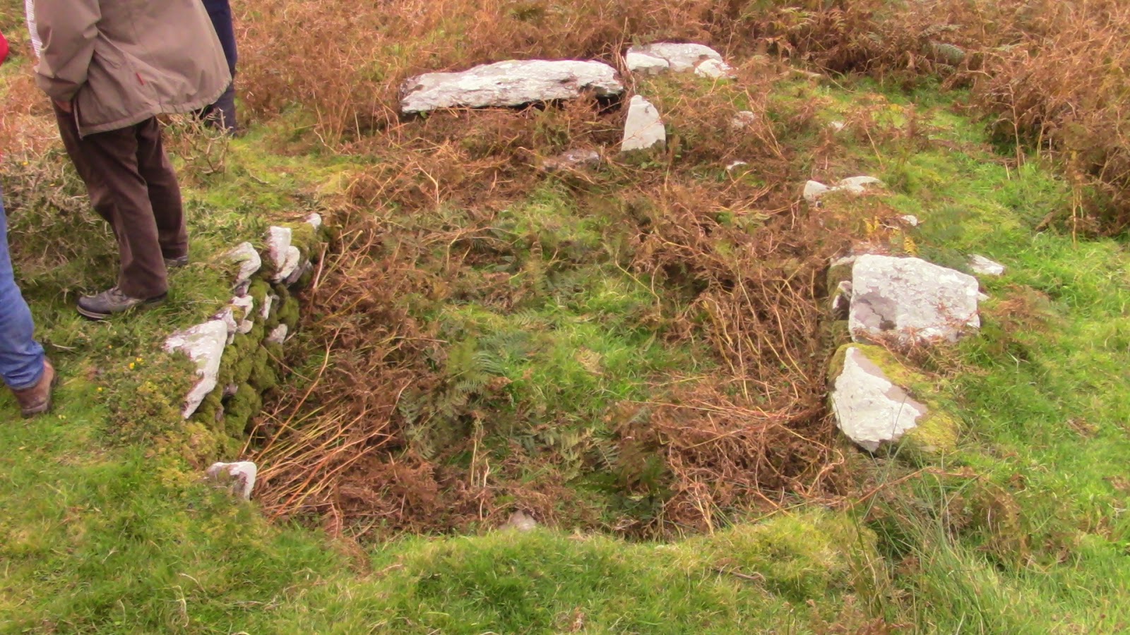
While the buildings were no longer standing, and the landscape covered in the gravestones of Late Medieval burials, with a keen eye you could still juuuust make out the trenches and earthworks that marked out the enclosure of the church site, and the inner enclosure of the holiest area of the settlement. Early Irish church sites were frequently divided into two or three sections in order of “holiness” (this site had two sections)– the holiest area, called sanctissimus, would have the church proper, as well as any shrines or graves, and the less holy area would have housing for the ordained, craft sites (such as a forge or tannery) and other ordinary activities. The outer enclosure of the site was just as import, if not more, marking the limits of what was considered the sanctified land. This enclosure had great legal and political importance, since land couldn’t really be taken away from the church (while it legally could, it would be a good way of looking like a tyrant) so a king giving rival’s lands to the church was an effective way of prevent them from regaining power (such as what happened at the Rock of Cashel), and it was a place of sanctuary, where criminals or soldiers could flee to escape violence (people rarely followed the spirit of the law though, so the annals record a lot of people being dragged out of the churches and executed right outside the gate).